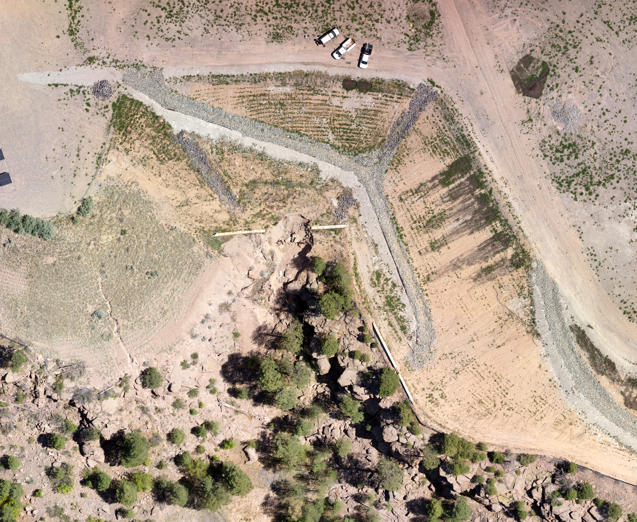
Surveying in difficult locations
We recently completed a topographic survey in a what would have traditionally been a difficult location. The site consisted of a retaining barrier positioned on a landfill that had blown out. Traditional survey techniques would have required the use of a total station from the bottom of the site. To complicate matters, the site bordered the Los Alamos National Laboratory (LANL), which is some of the most restrictive airspace and land in the world. After several weeks of coordination with the FAA and LANL we were given a small flight window to complete the survey using an UAS. An escort from LANL joined us on the site and observed all operations. Several GCPs were installed around the perimeter of the blowout and the data was collected in less than 15 minutes with the UAS. Total time on site was less than two hours, which included installing GCPs and processing the initial stages of the photogrammetry to ensure that all of the data was collected. Using a blend of nadir and oblique imagery we were able to keep the ground sampling distance below 2cm and see around a number of trees near the area of interest.
There are two 3D meshes below that are represented by approximately 300,000 triangles. To put into perspective, our finished TIN surface was based on 35,000,000 triangles, which captures significantly more detail and retains a high level of accuracy.


