Data Processing and Surface Types
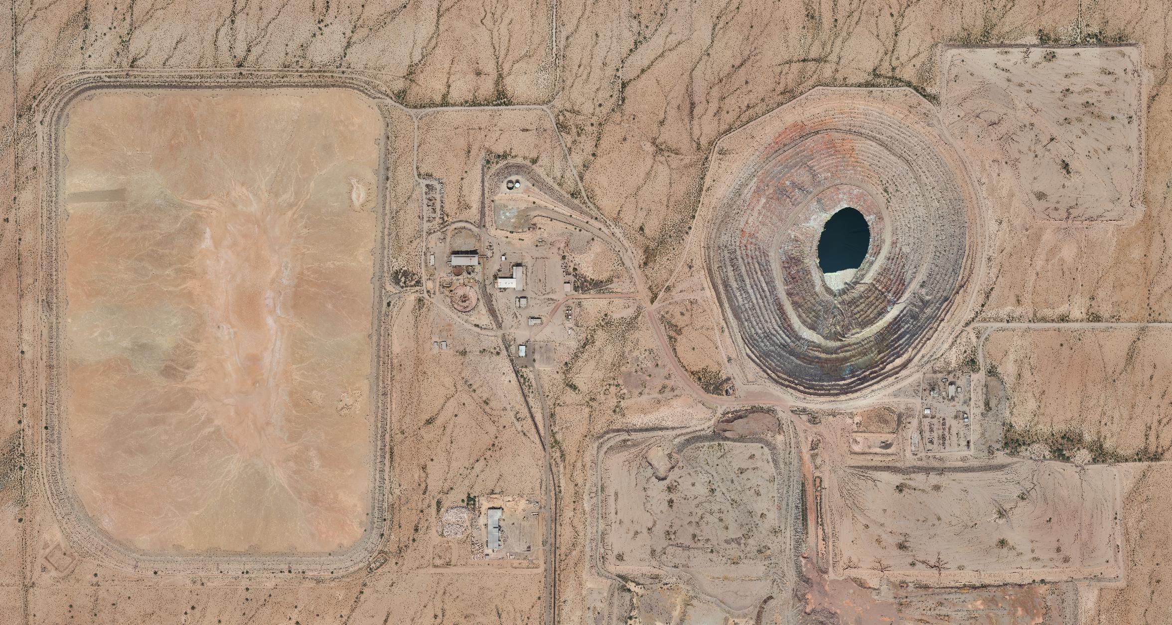
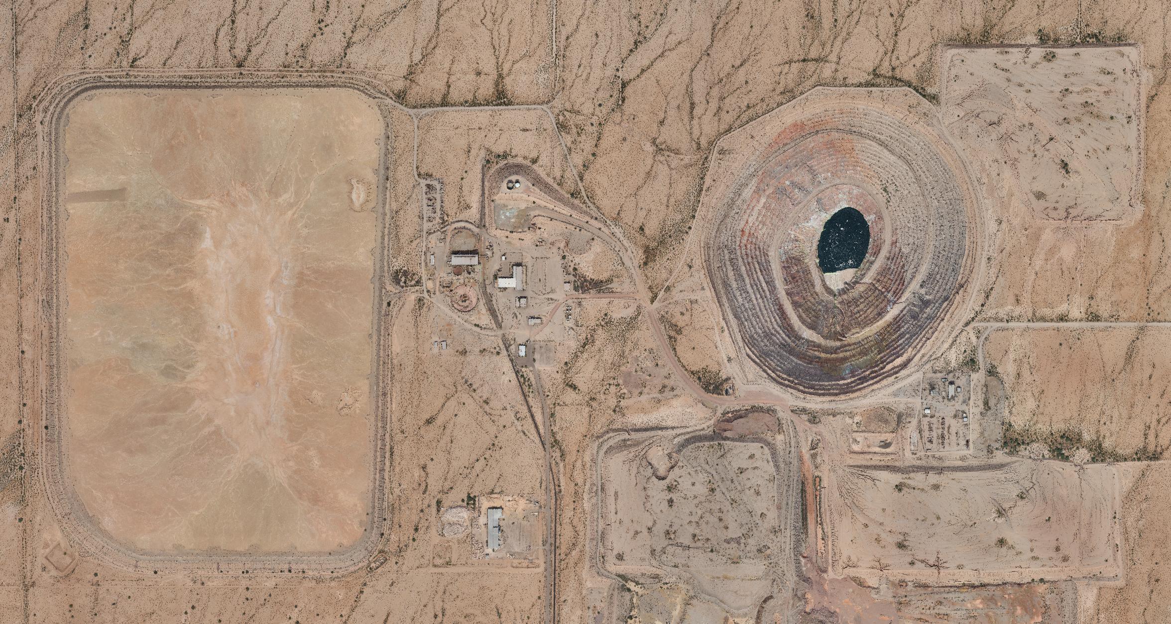
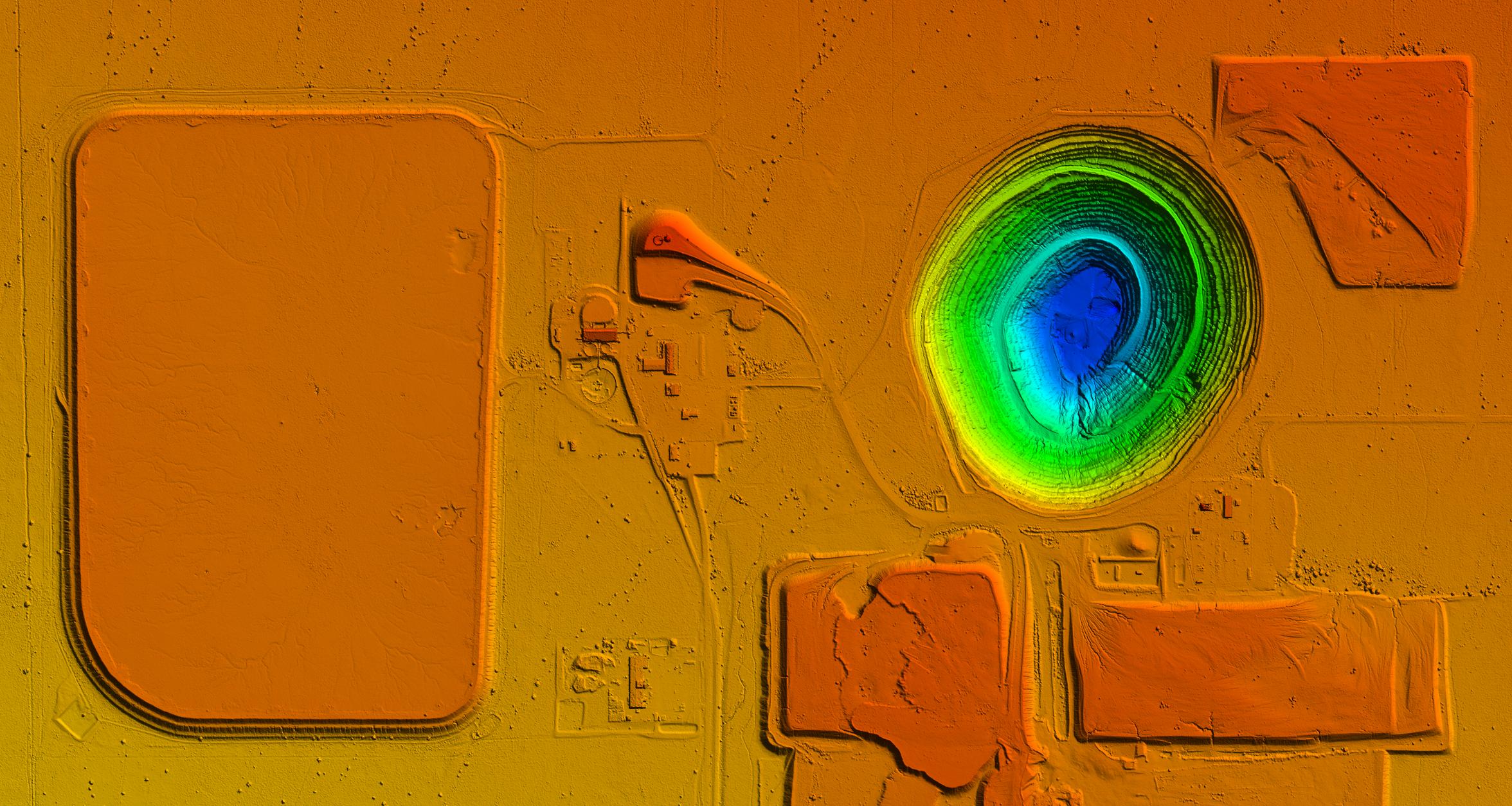

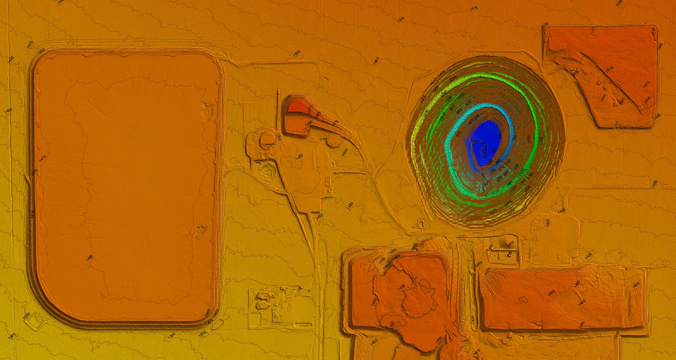
After data is collected from the field, it gets “processed.” This term gets thrown around a lot as it broadly describes a wide number of steps to produce the requested deliverable. Processing often takes 1 to 20+ times the effort than the effort it took to collect the raw data in the field. The image above shows the difference between several common output steps. DSM – Digital Surface Model, includes vegetation while a DTM – Digital Terrain Model removes all items not considered ground.
Basic field collection and processing typically generates two products: an orthomosaic image and point cloud. After this step, further processing might include:
Point Cloud: Whether using SfM or LiDAR, processing point clouds can include:
- Project geo-referencing, Quality Assurance and adjustment
- Orthomosaic tiling and compression
- Point cloud classification
- Algorithmic
- Manual
- Point cloud density reduction
- Surface model generation
- LandXML
- GeoTIFF
- Extraction of features, such as power lines, tree sizes, etc
- Extraction of contours
- Cartography or engineering grade
- Planimetric extraction of standard 2-D linework
- Export into a wide number of formats