about us
Synergy Geomatics is a Phoenix-based Survey, Mapping and Inspection Company. We specialize in the rapid and accurate measurement of natural and improved earth surfaces using the latest surveying technology available. This approach delivers on all of the major elements of value – safety, speed, quality, and cost.
The company was founded in 2014 and incubated under ASU’s SkySong startup accelerator. Initially, the focus was on leveraging the founding team’s land surveying, aviation, and engineering experience in utilizing small unmanned aerial vehicles to provide mapping and inspection services. Over time, this scope has extended beyond unmanned vehicles and into more powerful platforms and sensors to solve the problem of accurate, timely and affordable measurement of the earth’s surface. We discovered that a blended solution using traditional ground survey methods and aerial data provides the most accurate and defensible results. While in ASU’s startup incubator, we were given access to the Suguaro 2 Supercomputer in ASU’s research computing laboratory. This enabled us to discover the variable sensitivities that influence accuracy in structure from motion photogrammetry. In 2015, we started the Yavapai test range  located just outside of Fountain Hills, Arizona which provided us with a survey reference surface to repeatedly test platforms, sensors, and software. Well ahead of the UAS market, we achieved repeatable accuracy at less than .08’ RMSEz90 utilizing a drone mapping system that we developed.
As our business continually grew, it became apparent that FAA restrictions on the use of drones would inhibit our ability to offer services in populated or other FAA restricted areas. Several interstate lane expansion projects in which the use of drones would have clearly reduced enterprise risk to the project had to be turned down due to FAA restrictions. In response to these market blocking forces, we made the strategic move to mount our UAS sensors on full-size helicopters and fixed-wing aircraft which could operate comfortably inside the regulatory envelope. Ironically, the first project with this system was to map a portion of the taxiways at Sky Harbor Airport. After coordination with the FAA, we were granted permission to enter the class B airspace surrounding the airport to complete the project. We spent a total of 20 mins collecting data in the air, and 20 minutes on the ground, which prevented the airport from having to close the north side for 3 days for a traditional survey.
Over time our company’s focus sharpened and we decided to change our name to Synergy Geomatics in 2016 which accurately describes two of our fundamental values. “Synergy” represents the interaction of elements that when combined produce a total effect that is greater than the sum of the individual elements, such as land surveying, aerial photography, robotics and IT. “Geomatics” which represents the gathering, storing, processing, and delivering geographic information.
Technology
While drones steal the headlines, software advances in photogrammetry deliver incredible results over traditional stereo plotter systems. This new technology blended with traditional GNSS land surveying practices come together to create a new and more efficient method for land surveying. After testing multiple drone and aircraft systems from several major vendors, we were unable to find equipment that met our requirements. Advances in 3D prototyping have given us the ability to design, 3d print, and CNC if required, parts in an incredibly short time span (days). Typical design to CNC used to take months and cost for an individual part were prohibitive for all but the most expensive projects. We now routinely design and print parts as a matter of operations rather than R & D. Whether it be a clamp for a rover pole or a nose cone for our aerial systems this technology has had a major impact on our business.
Our biggest achievement has been the development of our aerial camera we call the Syn-Cam. It is capable of sustained sub-second shutter triggers at 1/8000s exposures. The entire system can be carried in a single hard case and fitted to any Cessna 172. Images from the camera, coupled with new photogrammetry processing yield outstanding results in a fraction of the time of traditional aerial mapping or land surveying.
Our balance of in-field operations and R&D has also been a major factor in our success. In 2016, we were approached by a venture-backed silicon valley firm to provide consulting services on how to map open pit mines. Surprisingly, out of the 25 engineers designing their system, not a single one had even been to a mine. Most of the drone companies we have worked with have taken a “solution looking for a problem” approach in their product development. We start with deeper understanding of the outcome that we want to achieve based on our experience in the field, gather the fine details that define the problem, and solve it, with no affinity to any particular technology. This has yielded remarkable results in a fraction of the time.
Founders
Doug Andriuk
Doug is a former US Air Force Colonel, who held leadership positions ranging from operations to technology acquisition. Throughout his career in the Air Force, Doug watched the growth of unmanned aircraft from the start, observing the first “Predator” drone at Yader Field in Albania in 1996. By 2014, drones were more prevalent in the Air Force than manned aircraft. Observing the explosive growth of drones in the military and their value to decision makers, inspired Doug to found Synergy Geomatics with Rob Unger.
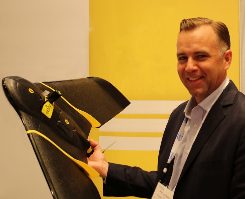
Doug is an unmanned systems and close-range photogrammetry expert and is well known throughout the UAS surveying industry. He is a frequent guest speaker on UAS use in land surveying and is a technical advisor to multiple surveying, engineering and construction companies. He has a combined understanding of all the domains required for exceptional results in image-based surveying – photography, photogrammetry, UAS design & operations, surveying, and geomatics.
Rob Unger
Rob has over thirty years’ experience in land surveying and land development, resulting in extensive technical and regulatory knowledge of land surveying, land development, construction surveying, mining surveying, right-of-way and land use issues utilizing state-of-the art field and office equipment. 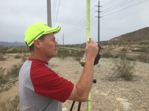 Rob is a hands-on surveyor that splits his time between the office and field. This boots on the ground methodology keeps the primary survey decision maker completely abreast of all the evidence necessary to make informed judgments on all projects.
Rob has a comprehensive background of boundary, legal description, platting, topographic mapping, digital terrain modeling, GPS control surveys, right-of-way, mining, ALTA, and construction layout. His Civil Engineering education from the University of Arizona gives him a unique perspective to understand what is required from a design context.
Significant Projects
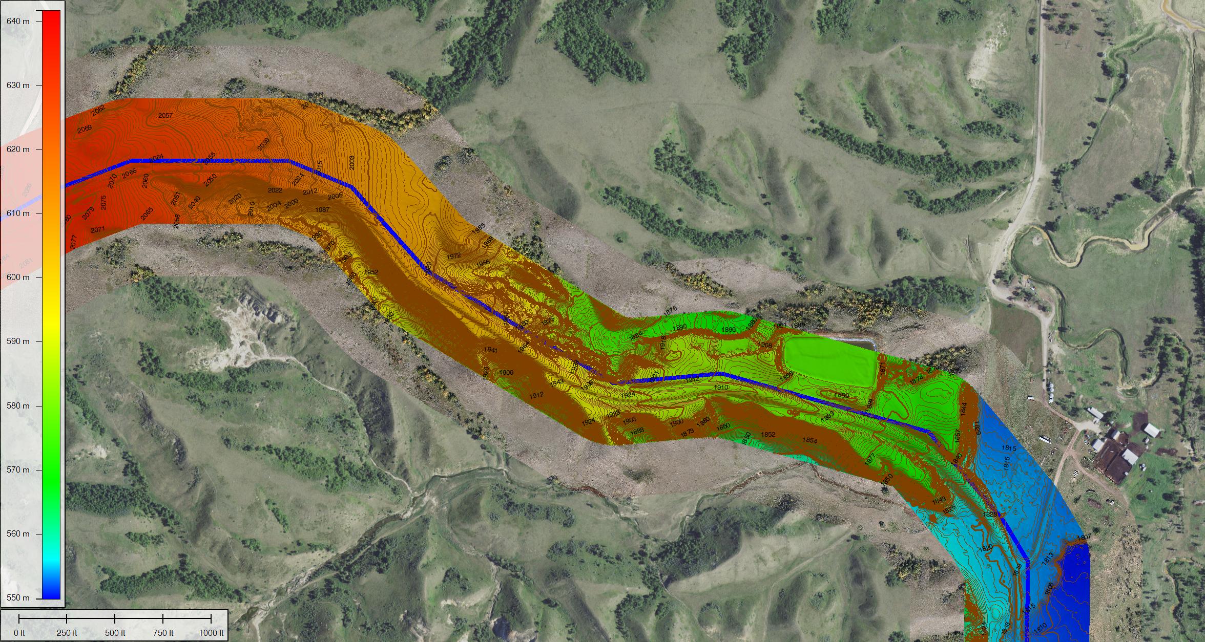
Tobacco Road, ND – Pipeline Cooridor
Platform: Syn-Cam on Cessna 172
Deliverable: 4 cm Orthographic imagery, 1′ topo
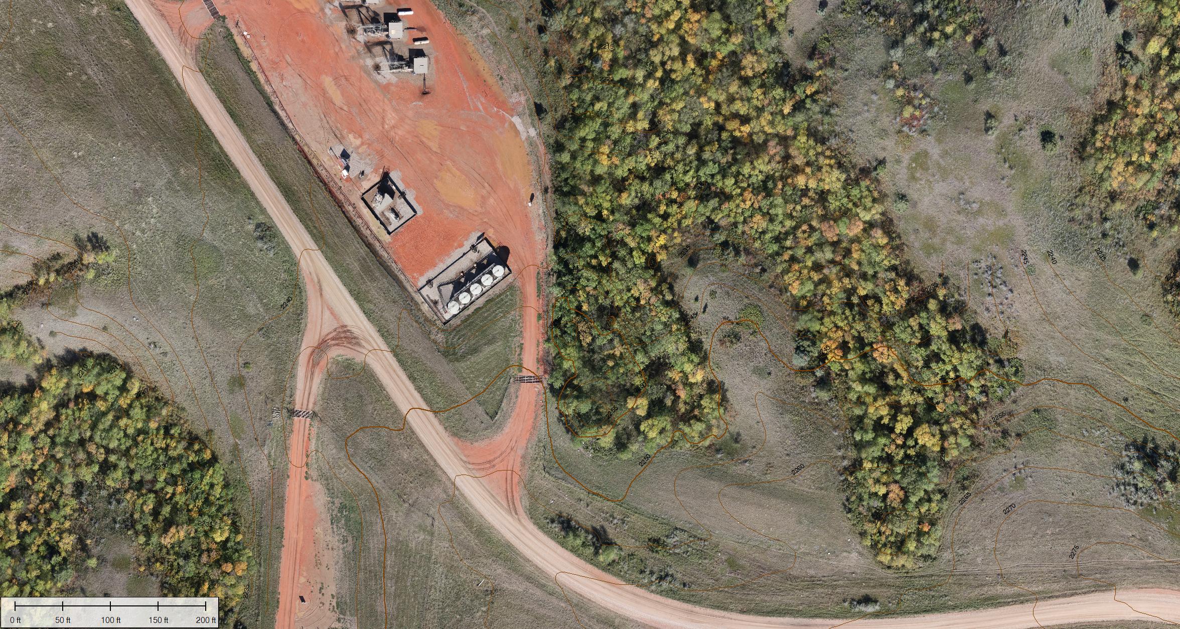
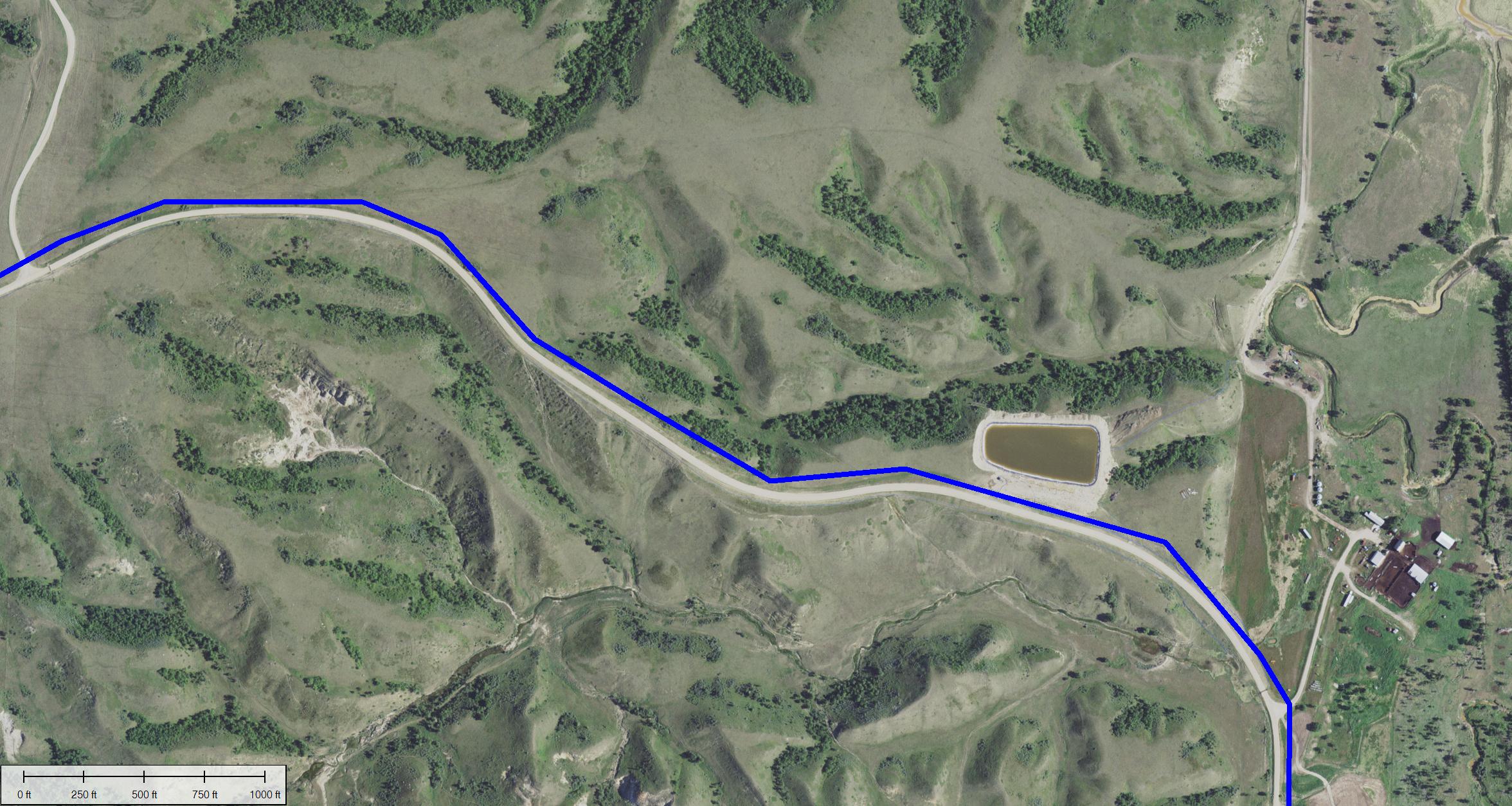
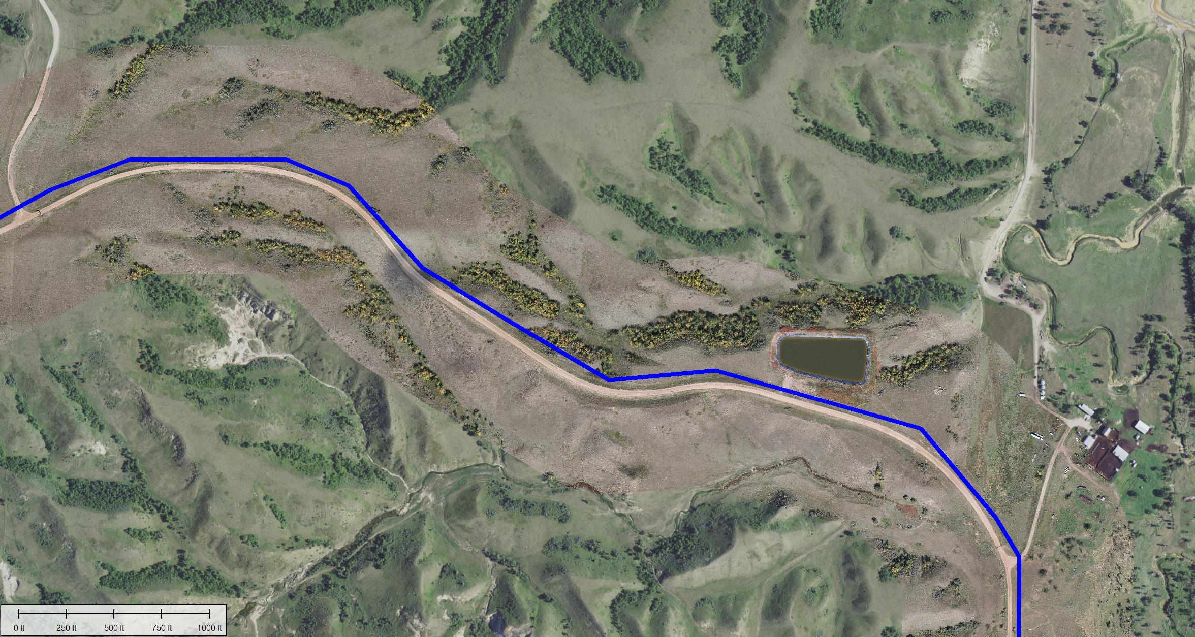
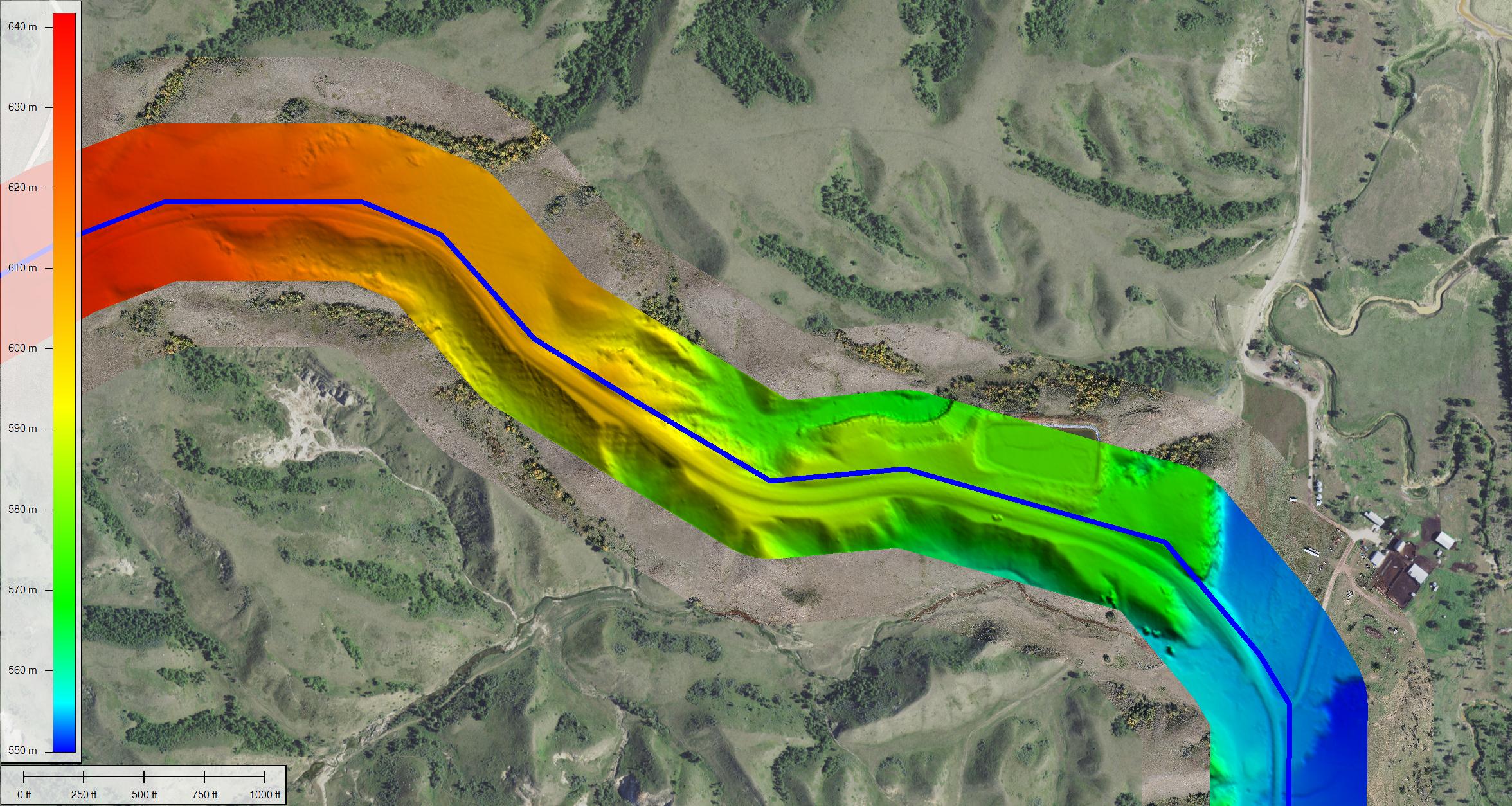
This project consisted of providing 1′ topography (600′ wide) and 4cm (1.5″) orthographic imagery (1200′ wide). This data is rapidly delivered and increases situational awareness and productivity at the front end of a project. Imagery resolution is high enough and wide enough to support boundary survey, HCA and right of way operations, while survey grade topography supports the engineering team. Data can be delivered in a variety of formats to support GIS and CAD software. Unlike traditional aerial mapping, our process delivers higher resolution iimagery and unlike drones, it can be scaled to map large projects in a fraction of the time.
Scottsdale National Golf Course
Platform: Synergy Hexcopter, Syn-Cam on Cessna 172
Deliverable: .08′ RMSE surface models
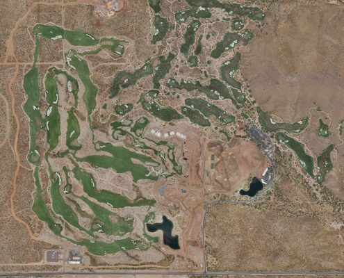
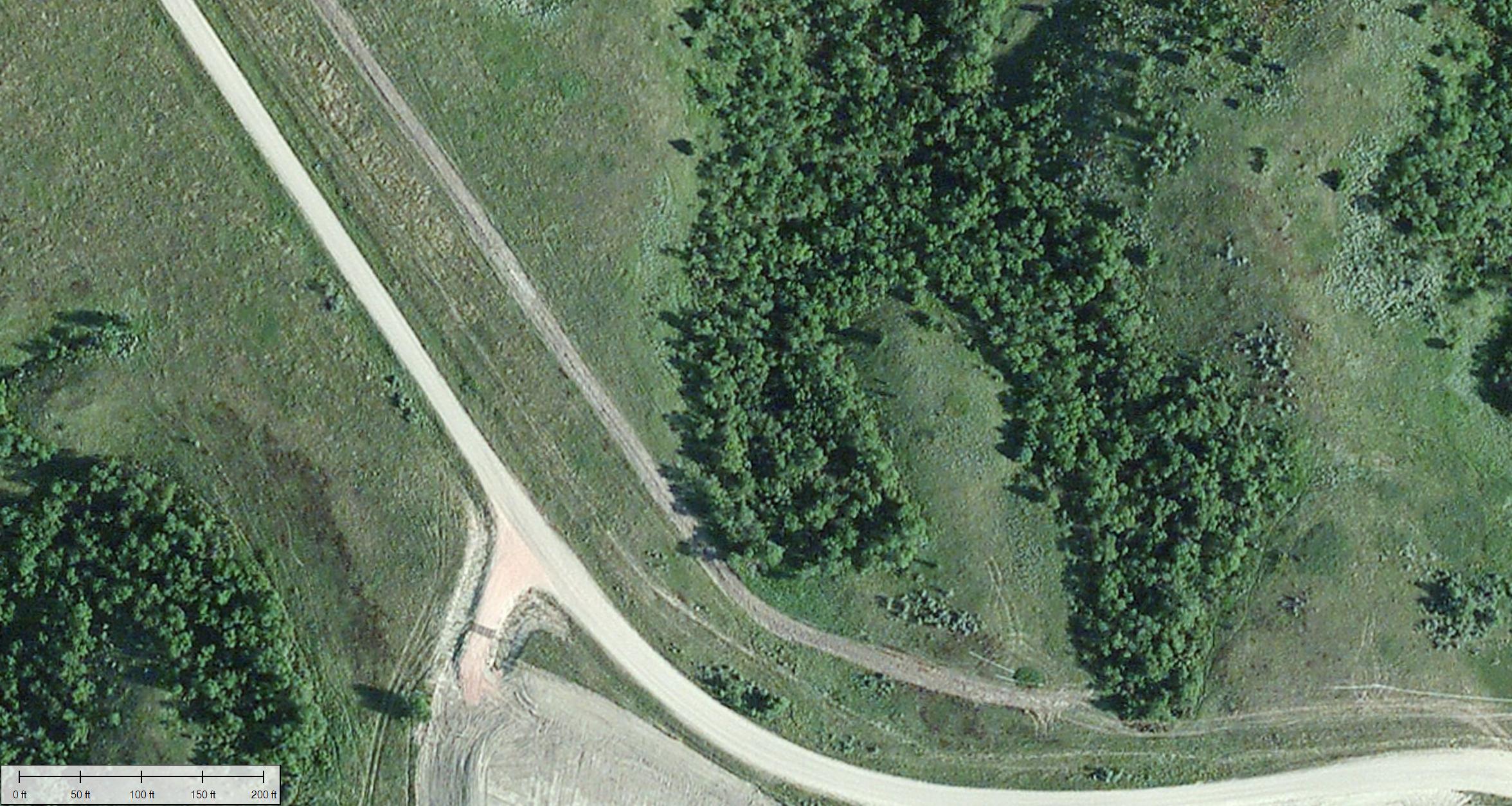
This significant earthworks project was mapped over a dozen times during a two-year time frame. Synergy’s contribution was surface modeling for the purposes of payment quantities and civil engineering. Initially, we used a variety of drones to map areas from 50-150 acres for periodic quantities measurements. As the project grew, we started mapping the site with the full-scale airplanes, collecting 900-1200 acres in a single two-hour flight. Earthwork quantities represent one of our most unique challenges, with most clients demanding vertical accuracy of .08′ or less. In addition to being accurate on irregular surfaces, areas are measured quickly – hours instead of days, with no need to back out load counts or have people in the field amongst operating dozers and scrapers.
Pinto Valley Excavation Project
Platform: Syn-Cam on Robinson R44 and Cessna 172
Deliverable: 2′ Contour models in less than 24 hours
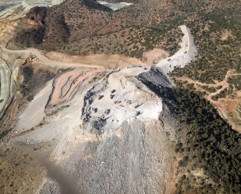
Over a period of 10 weeks, we mapped this project 8 times. The client attempted to map the area with drones, but the steep vertical terrain and lack of suitable landing and takeoff areas failed to produce acceptable results. We initially used an R44 helicopter mounted with our second generation aerial camera carrying a 50-megapixel sensor. During the project, we switched to our third generation 100 megapixel camera that allowed us to use a Cessna 172, and double the image acquisition speed while cutting operating costs. Approximately 20 ground control points were set for the first scan of the site with the helicopter. Due to the project’s rapid progress, most of the control was destroyed during blasting and excavation. A synthetic ground control point system was used and back checked, resulting in almost perfect point cloud alignment from scan to scan. Deliverables were presented to the client by 7 am the following morning. Safety was a major factor in the client’s choice to use us for this project. Drones, while fairly efficient, require people on the ground which in this case was a very small and active blast and excavate operation.
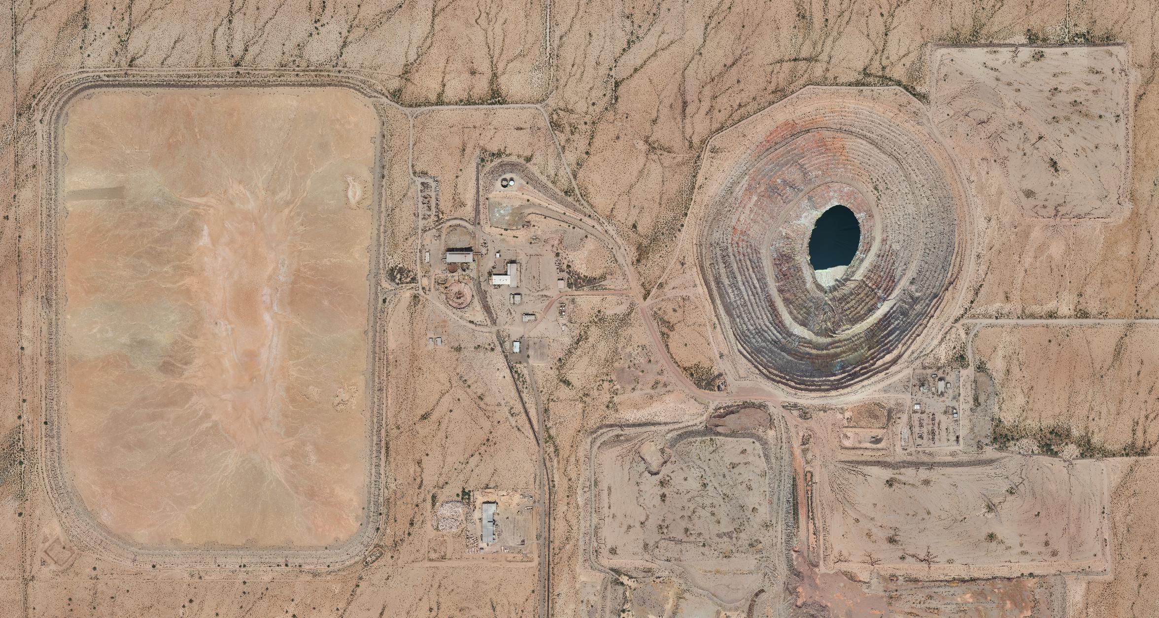
Sacaton Mine, Casa Grande, AZ
Platform: Syn-Cam
Deliverable: 1′ topograpy, orthomosaic
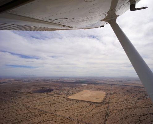
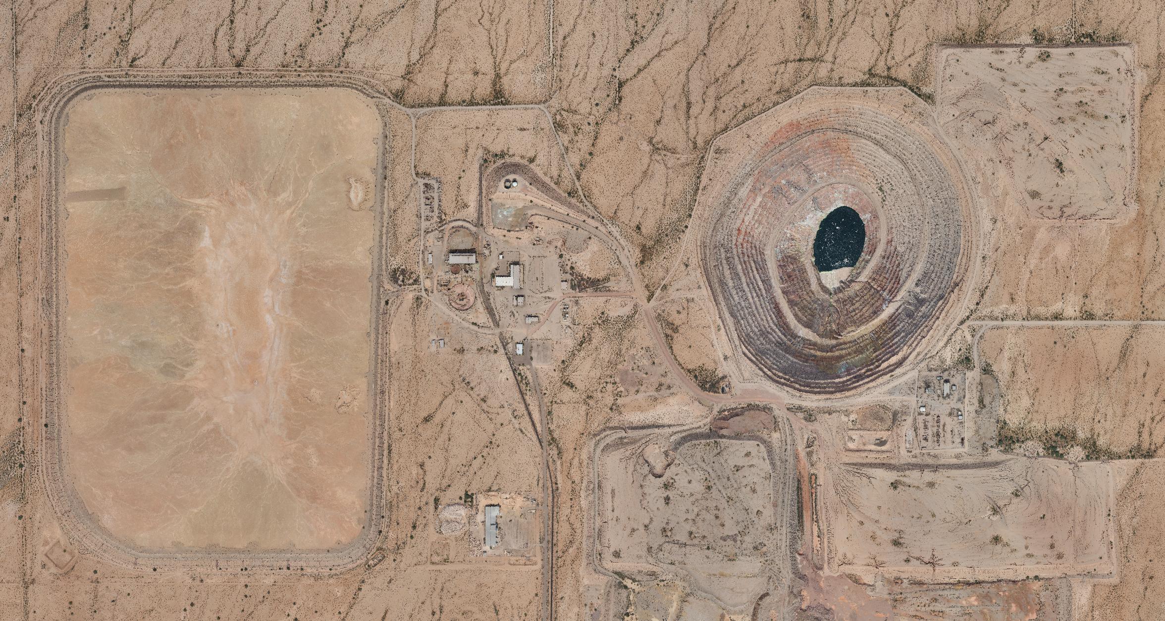
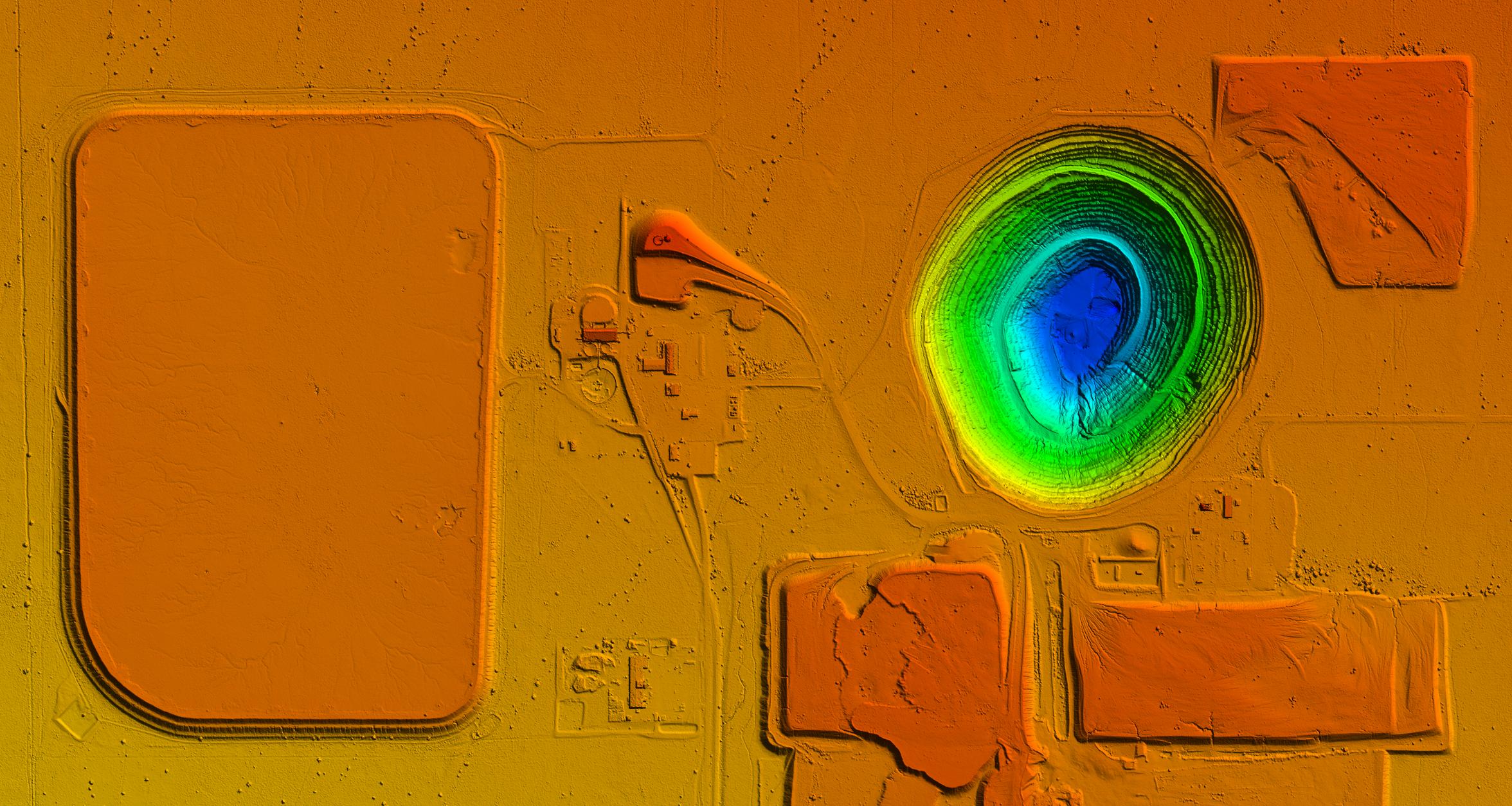
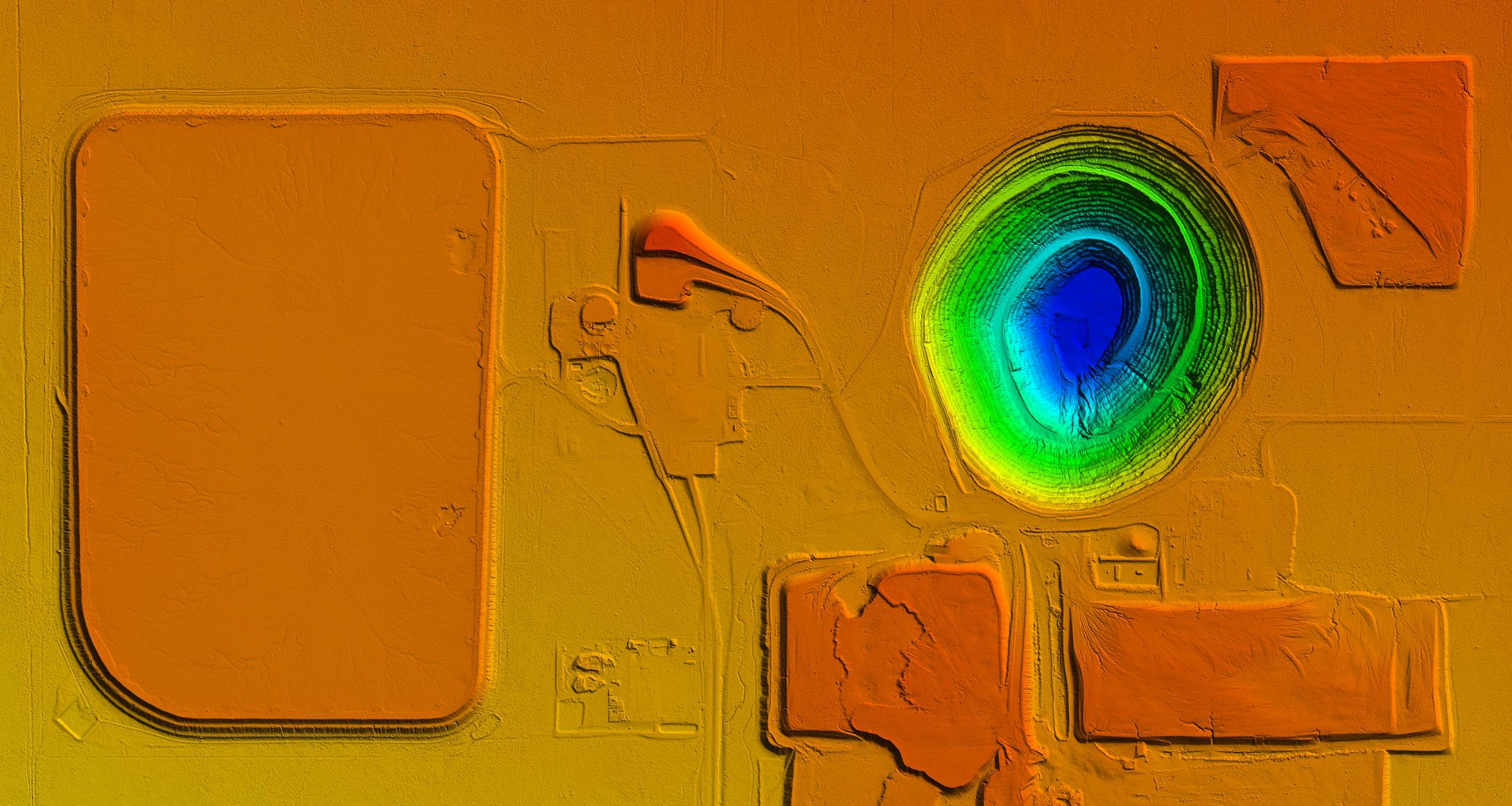
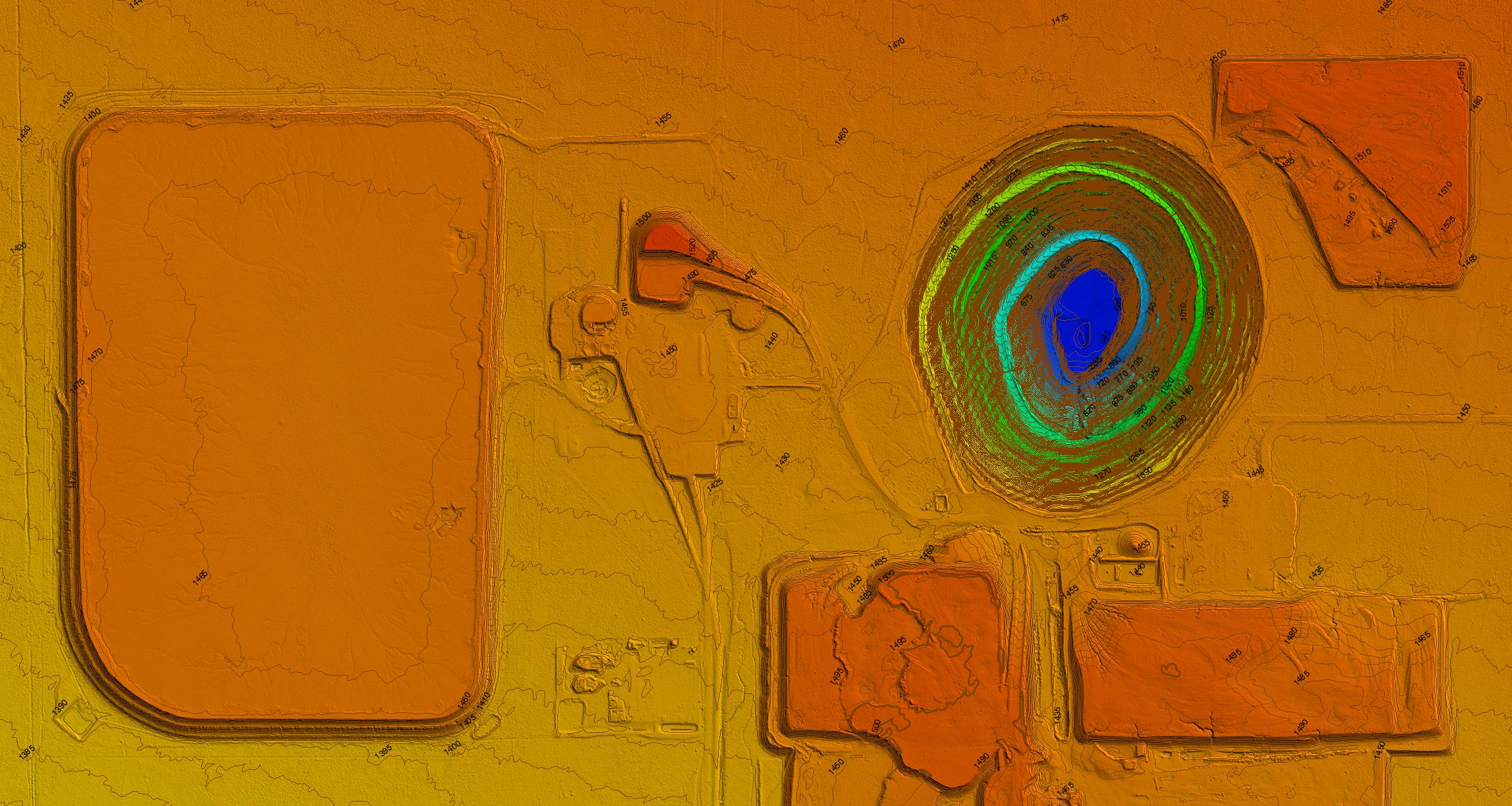
This project consisted of mapping a 2400 acre open pit mine. One day of field work was followed by 1.5 hours of image capture using a Cessna 172 equipped with the Syn-Cam. Over 6000 images were collected and processed into a point cloud in 24 hours. High aspect imagery was collected of the mine pit itself, using a proprietary method. This allows for a greater level of accuracy on steep surfaces. A combination of manual and algorithmic filtering removed all of the vegetation and structures on the site, then 1′ and 5′ contours were generated. In the image below you can move (slide) between the orthomosaic, point cloud, DSM, DTM and DTM with overlaid 5′ contours.
202 South Mountain Freeway
Platform: Syn-Cam on Cessna 172
Deliverable: LandXML for quantities measurement
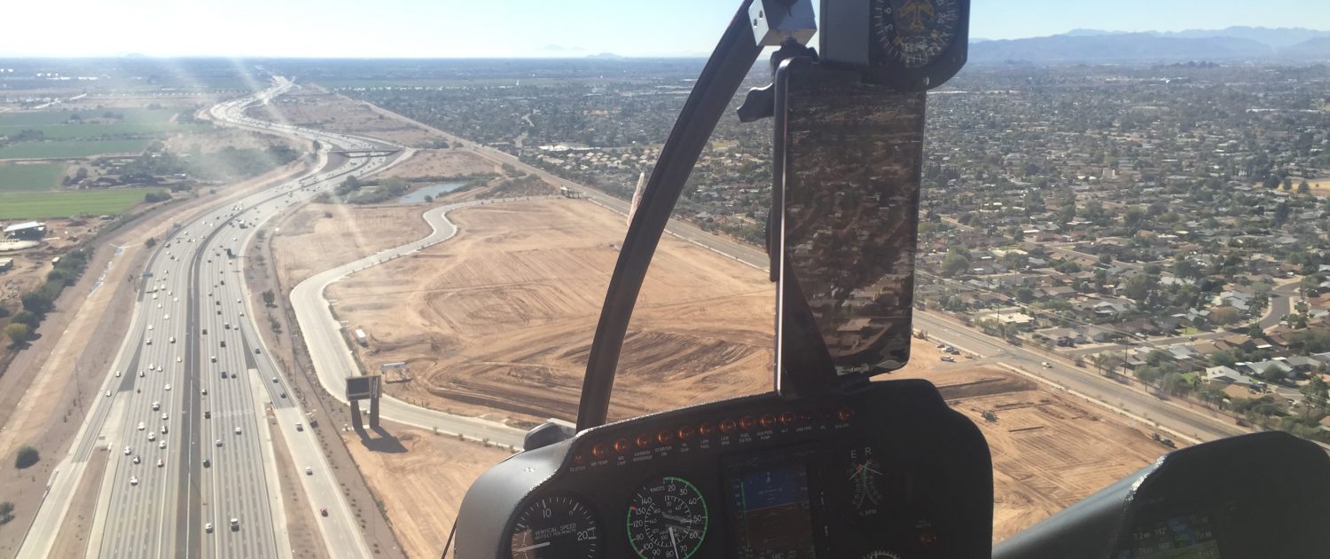
This project consists of 26 miles of 6-8 lane highway corridor that travels around the southwestern side of Phoenix. Half of the project is in uninhabited terrain, with the other half consisting of the expansion of existing roadways in densely populated areas. Additionally, portions of the project are in Phoenix Airport’s Class B airspace. The client had intended to use small drones to map the corridor, but after falling behind schedule, brought us on to develop surface models. Using our Cessna 172, we collected between 4 and 12 miles per the client’s requirements and completed finished deliverables within a week. The repetitive nature of this project has provided us with the opportunity to fine-tune our operational abilities.
Los Alamos County Landfill
Platform: Synergy Hexcopter drone
Deliverable: LandXML
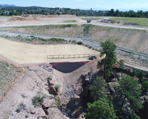
We were contracted to provide initial, interim and final surfaces over the project site. The project site sits within Los Alamos National Laboratory’s restricted airspace, which is one of a handful of sites protected with active air defenses. Overflight by civil aircraft is strictly prohibited. After some negotiating with FAA and LANL, we were given approval under escort. The project’s surface consisted of a blown out retaining wall that was too unstable for traditional land survey methods with GNSS. We set control on the top and at the bottom of the area and mapped the project with a single drone flight to an accuracy of .08′ RMSE.
Dirty, Dangerous, Different, Dull
Platform: Varied
Deliverable: Varied
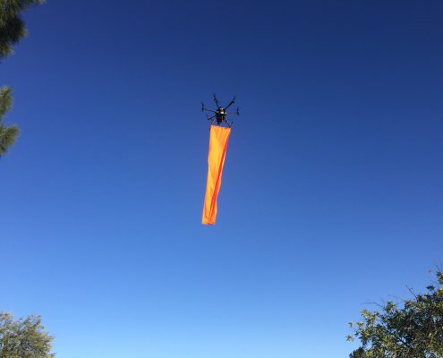
They say drones are best suited for the 3Ds – dull, dangerous and dirty. We’ve added different call it the 4Ds. We have thrived at coming up with unique solutions to odd problems utilizing our drone platforms. In one instance, we used a drone carrying a banner to simulate a proposed cell tower installation for an environmental study. The drone held it’s position 200′ feet above the ground for almost 2 hours (several 3 minute battery changes in there). Traditionally, this job would have been done with a large crane, with a balloon extending off of the boom. The remote location and persistent wind moving the balloon prompted the company to call us and solve the problem.
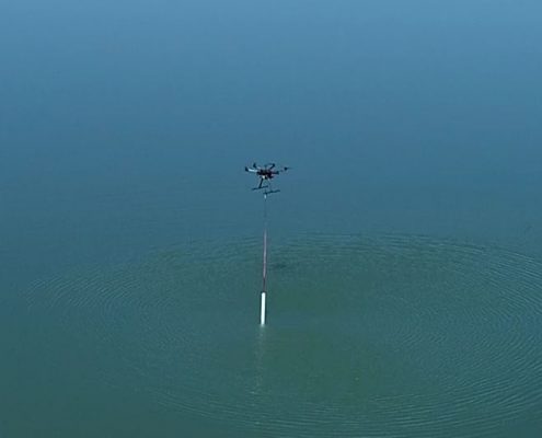
A second client had us retrieve one liter of water from the bottom of a mine pit 1000′ deep. To complicate matters, the water was potentially toxic and entry into the pit area was prohibited. We modified one of our existing drones with a simple sampling device that quickly fills with water.
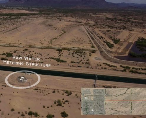
We also excel at producing high-quality videos with floating titles and other effects, such as overlay maps in support of marketing or other activities.

