Progress Monitoring
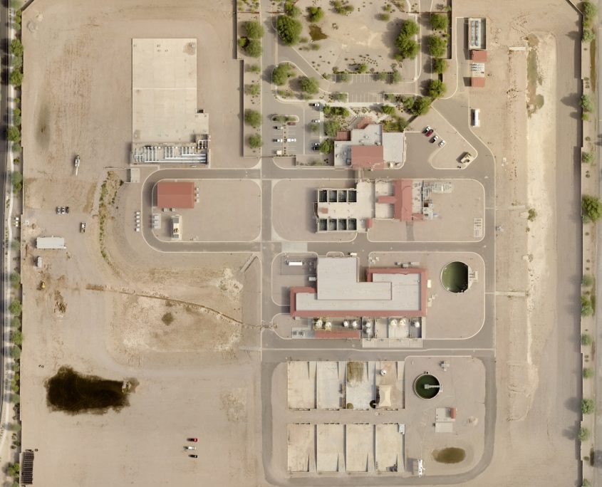
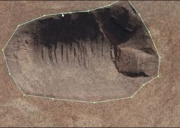
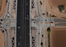
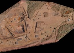
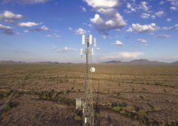
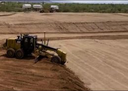
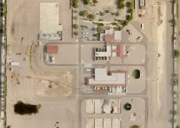
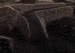
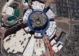
Progress monitoring can be as simple as collecting high resolution aerial imagery and video, or as complex as complete orthomosaics of the site. Processed data can be distributed via the cloud, similar to a specialized google earth for your project, but augmented with the ability to annotate and do quick engineering calculations such as cut/fill and slope analysis. Data can be distributed across the enterprise through a variety of methods from a custom GIS database to simple, stand-alone services that provide the analysis tools. Depending on your requirements this can be provided as a derivative product from more robust scanning, or as a stand alone service.

