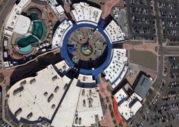

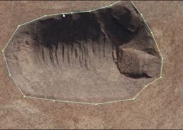
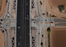
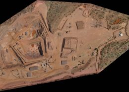
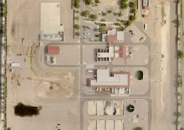
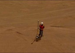
Mapping
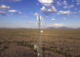
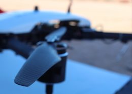
Mapping using Structure from Motion (SfM) techniques & aerial nadir and oblique imagery produces rectified maps at a fraction of the cost of traditional aerial. With our drone platforms we can collect up to 2000 acres a day at 1″ GSD, and on the fixed wing platform up to 50,000 acres a day at 6″ GSD. Data can be delivered in all the standard formats to fit into your existing workflows.

 Latest sUAS News
- Iridium to Acquire Aireon, Advancing its Strategy to Lead the Future of Aviation SafetyThe transaction unifies the world’s only space-based air traffic surveillance system with the satellite networkPress
- PteroDynamics Awarded Contract by Royal Australian Navy for Transwing VTOL Unmanned Aircraft SystemsPteroDynamics Inc. has secured its first international defense contract with the Royal Australian Navy (RAN) to provide Transwing® VTOL unmanned aircraft systems. Following successful 2025 operational trials, the agreement includes the delivery of P4 Transwing aircraft in early 2026 to support autonomous maritime logistics, with options for the larger P5 system in 2027. This strategic […]Press
- FAA Announces Strict Airspace Restrictions for FIFA World Cup 2026The FAA, in coordination with DHS and DOJ, has established Temporary Flight Restrictions (TFRs) over 2026 FIFA World Cup venues and fan events. Covering major cities from Los Angeles to New York, these 99.7 "Special Security Instruction" restrictions apply to both traditional aircraft and UAS (drones). Unauthorized operators face severe penalties, including civil fines, criminal […]Press

