Survey Team Support
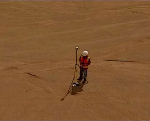
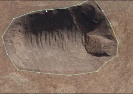
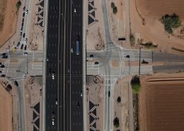
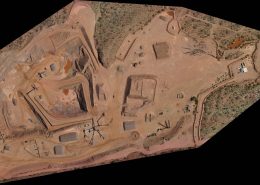
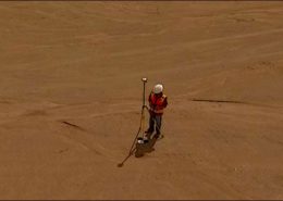
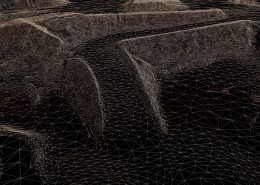
We haven’t met too many surveyors that enjoy collecting hundreds, if not thousands of single point topography points. Many want to acquire drones to boost productivity, but don’t realize the level of technique and post processing required to produce high quality results. FAA drone restrictions on operations over moving traffic or uncovered people creates legal and safety barriers that professional operators respect and don’t cross. With our fixed wing and helicopter options, fitted with superior sensors, we can map everything from airports to interstate highways and at a cost that will surprise you. In cases where drones make sense, we put them to work.
Let us show you how we can knock out two weeks of field topography in a day, and put your manpower to back to work where it is needed most. Calling in traditional aerial for topography frequently results in a four to six week wait for delivered data, with accuracy that is subpar for many applications.

