Terrain and Elevation Models
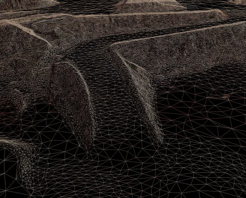
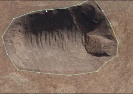
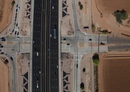
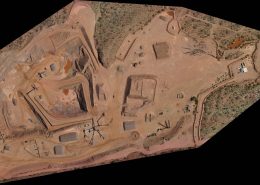
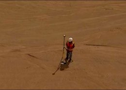
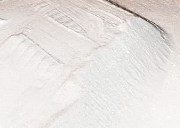
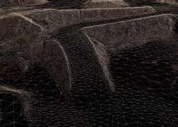
Synergy Geomatics specializes in producing digital terrain surfaces from high-density spatial data. Using manned and unmanned aerial photogrammetry blended with terrestrial point collection we are able to produce surfaces of superior quality, produced in a fraction of the time of traditional aerial or terrestrial methods. On short notice, data can be provided in as little as 3 days. Using unmanned systems we can collect up to 2000 acres a day, and with our fixed wing and helicopter options we can map up to 50,000 acres a day. FAA restrictions that prohibit UAS operations in populated areas are not a problem for manned aircraft.
Surface models without a guarantee of absolute accuracy are of limited use. Because we pair aerial with ground surveying from the start, quality assurance is maintained throughout our process.

